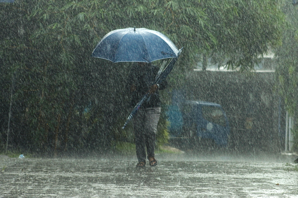

Five counties are being warned to brace for heavy rain, thunderstorms and possible surface flooding as Met Éireann has issued a Status Yellow Rain Warning.
The warning applies to Carlow, Kilkenny, Waterford, Wexford and Wicklow and will come into effect at midday on Thursday, August 27.
It will remain in place until 3am on Friday, August 28.
Met Éireann is warning of “spells of heavy rain with a possibility of thunderstorms” during the period.
The forecaster has warned of potential localised flooding, difficult travelling conditions and disruption to outdoor events.
The warning was issued at 9.05am on Wednesday morning.
The latest national forecast shows the unsettled weather will continue over the coming days, with heavy and thundery showers expected in parts of the country.
⚠️Status Yellow Rainfall Warning Issued for:
📍Carlow, Kilkenny, Waterford, Wexford, and Wicklow
⏲️Valid from: 12:00 tomorrow, Thurs 27/08 until 03:00 Fri 28/08
🔗https://t.co/FhFWKx6AbX pic.twitter.com/rhinmytiDU
— Met Éireann (@MetEireann) August 26, 2026
On Thursday, rain across southern areas will gradually extend into eastern and southern counties, with heavy falls possible.
While there is currently no weather warning in place for Cork, Galway or Kerry, the three counties are also bracing for heavy rain and possible thunderstorms.
Met Éireann is forecasting a particularly unsettled period, with some areas seeing heavy showers and thunderstorms through Thursday and into the weekend.
Friday will bring a mixture of bright spells and scattered showers, some of which could again be heavy and thundery.
The weather is then expected to turn cooler, with temperatures falling from the low 20s experienced in parts of Ireland this week towards the mid-teens over the weekend.
Sunday is expected to be particularly wet, with rain affecting much of the country and becoming heavy and persistent at times.
The unsettled conditions could continue into the early days of next week, with further rain or showers expected.