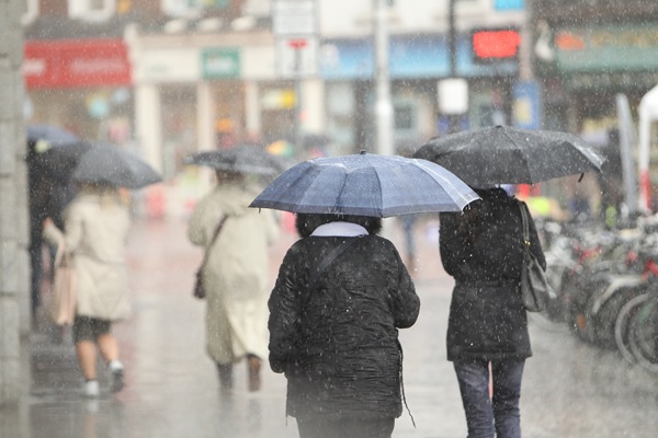

Forecasters are expecting widespread showers and longer periods of rain, some of which could become particularly heavy and squally. Thunderstorms may develop during the day, bringing the possibility of lightning and hail.
The intense bursts of rainfall could result in localised flooding, while visibility may deteriorate quickly on the roads. Motorists are being urged to remain cautious, particularly when driving through areas experiencing heavy rain.
The weather could also cause disruption for people attending outdoor events, with organisers and visitors advised to monitor conditions throughout the day.
It will not be completely wet, however, as some sunny breaks are expected between the showers. Afternoon temperatures will remain relatively mild for the conditions, ranging from 16 to 21 degrees.
Winds will generally be light to moderate from the south or variable in direction, although gusts are likely during heavier showers.
Conditions are expected to improve gradually after the warning period ends.
Showers will become more scattered and isolated overnight, with clearer spells developing. It will remain breezy, however, as winds shift towards the west and northwest.
Temperatures are expected to drop to between 10 and 14 degrees, while Atlantic coastal areas could experience stronger winds.
Anyone planning to travel or spend time outdoors on Sunday should remain aware of changing conditions, particularly during heavy downpours and thunderstorms.